 |
| Spotting a woodpecker Image - Kris Lawson |
The other reason that this is one of my favorite cold-weather hikes is that it hugs the bluffsides so you are often protected from bitter cold winds. What's not to love?
 |
| Spotting MANY trails in "see-through season" |
The trails, which switchback back and forth and up and down the rolling hills are narrow and few have the carved banks on the turns that steeper biking sections have. So hiking is really pleasant. In winter, you also get to see the many trails that are laid out in the snow as you ascend and descend.
On the return take, the trail spur off to the right (37) to cross a bridge over a ravine and then rejoin the trail and head back to the connector trail (34-35). Cross the trail and you will be back on Stinky's as you switchback up to the rim where you rejoin Prairie Loop by turning right at the connector (8) and right again on Prairie loop and voila! You're back.
Images, unless noted - Marge Loch-Wouters
While you don't do this trail for many expansive views, you are surrounded by forested bluffsides and big views of the bluffsides in this "see-through" season.
 |
| City of La Crosse Map |
From the Upper Hixon parking lot, you head down the trail by the Pump Track (3) for a quick left onto Prairie Loop (6) and then a right onto Stinkys. You interrupt your Stinkys sojourn at Marker 35, take a brief left and head down a connector to turn left onto Chicanery (34) . Follow that up to where Quarry trail starts (15). This is a great turn-around spot for a 1.7 mile winter hike.
 |
| Spotting animal tracks - hello squirrels! They hit the trails before we did. |
If you want to do a longer hike, at Marker 15, take the Quarry trail to the Mississippi Valley Conservancy's Mathy Quarry trail system, a mile down the trail. If you go there to turn around, you will add an extra 2 miles out and back for 3.7 mile hike. This is an especially nice trail in non-winter months when wildflowers are in bloom and the trails are shaded.
THE HIKE
Shared hiking/biking trails snake up and down and around the bluffside forests. Bird life is abundant during warmer months as are flora and fungi. Winter is a great time to hike/snowshoe these trails when bike traffic is considerably less, although many weekdays work in warm weather when there are fewer bikers too. It's great to have a map app like AllTrails with you since there are a profusion of trails and junctions!
The Location - N2788 County Road FA - La Crosse, WI 54601
From La Crosse, head up Bliss Road east towards Grandad's Bluff. Keep left at the Alpine Inn at the top and drive about 1/2 mile to Cty FA on your left. Turn right at the NOAA weather station by the radar "weatherball." There are three trailheads from this parking lot. You want to head to the trail between the weather ball and the Pump Track.Additional posts describing Hixon Forest trails:
 |
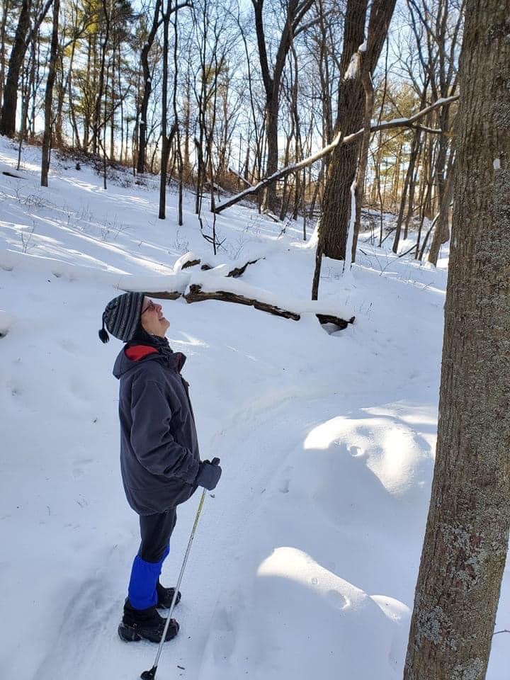
| A perfectly crispy hike with friends and away from the wind |
Images, unless noted - Marge Loch-Wouters
Looking for more area hikes? Please stop by the web version of the blog and under the "Labels" tab on the right hand side of the blog, click on "find-a-hike". There are over 75 hike descriptions and lists of hikes to try!
No comments:
Post a Comment