In this series of posts, I am sharing some easy trails that are perfect for families who want to get out in the woods. I developed these lists as part of my MN Master Naturalist capstone project in April 2022. I love connecting people to lots of trail options to explore!
The hikes below are the second in the series. The links at the bottom of this post go to lists of additional hikes in nearby areas. I continue to add new destinations, so if you know of any hikes in this area, let me know in the comments!
Happy summer hiking!
 |
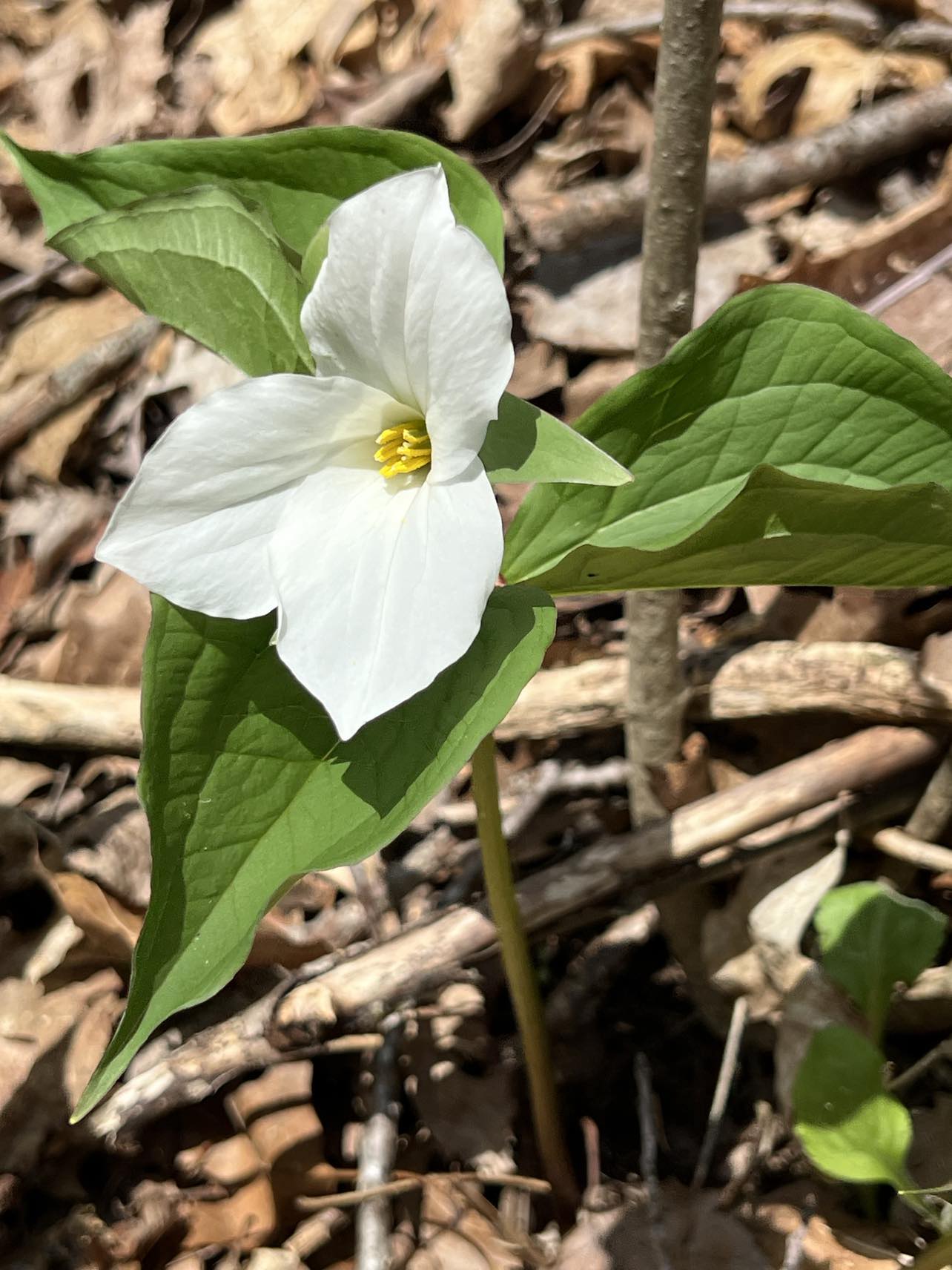
| Image - Gregory Watson |
LA CROSSE/TOWN OF SHELBY
Chad Erickson Park, 3601 Park Lane, La CrosseEasy, flat paved trail through wetlands, woods. Features include pond, bridge, playground, restroom, shelter, outdoor classroom, stony cliffs near the end to look at. La Crosse Public Library sponsors Storywalk pages throughout the walk. Approximately ¾ miles out to Pammel Creek Rd and back.
Hugelheim, Paul Stry Nature Preserve (open April 15- November 1) W58245 Hwy 33
A lovely gem hidden off Hwy 33 with paved trail, water features, wildflowers and bridges over a burbling Pammel Creek along the way. While the walk along the two loops is short (under ¾ of a mile), the benches all along the way invite quiet contemplation and taking time to enjoy abundant bird and wildlife.
Pettibone Park, 700 North Pettibone Drive, La Crosse
Flat paved trails around lagoon as well as walking along the road next to the Mississippi River. Good place to spot eagles and enjoy the historic gazebo and artesian well. Disc golfers can be inaccurate so keep an eye out. Approximately 1 mile loop.
Riverside Park and International Gardens, 100 State St, La Crosse
Flat paved trail along the Mississippi River. Features include the levee, fountain, benches, restrooms, bandshell, colorful gardens and gazebo. Approximately 1.5 mile loop.
La Crosse Marsh Trails, Riverside and Myrick Parks, 789 Myrick Park Dr, La Crosse
Many miles of mostly flat, paved or graveled intersecting trails through the La Crosse Marsh and it's wetlands. Features include wildflowers, waterfowl, wildlife, great views, benches, lookout on the march, bridges. Low-lying areas of the trail can be impassable during high water times.
 |
Flat dirt/grass trails that feature views of the Mississippi can be accessed at the flagpole as you make your first right turn in the park, by the shelters on the north side of the park or south of the campground. While trails are not well-marked, they feature wildlife and abundant foliage and wildflowers. Restrooms are available at the campground and shelters. Most trails are approximately 1-1.5 miles out and back. Very mosquito-y during the summer.
Xe Xete and Ni Tani Gateway Trails, Hixon Forest, 3020 Grandad Bluff Rd, La Crosse
Explore the old east and west quarries below Grandad’s Bluff on these mostly flat dirt and rock trails (elevation gain/loss just at the beginning on the Wilder trail that accesses the Xe Xete/Ni Tani trails). Spectacular views of the city, rock formations, wildflowers. Multi-use bike trails so be aware. Pit toilets at the trailhead parking lot. Approximately 1 mile for each trail loop from the parking lot and back.
Moderate trails featuring elevation gains as well as flatter trails on dirt, gravel in the old Mathy Quarry. Feature spectacular views, informational signage, wildlife and wildflowers. Trails can be out and back or use loops to extend the hike. An especially fun-for-families, short hike starts at the Quarry trail (to the right at the parking lot). The trail goes to the left on the Snakeroot trail through hardwood forests, a pine section, a birch section and up onto the prairie. Look for butterflies and birds. Turn left at the junction to head back to the parking lot on this 1.75 mi loop. hike. Mississippi Valley Conservancy Nature Preserve
Miller Bluff, Rim of the City Rd of Cty Hwy FA, La Crosse (no parking in the cul de sac; but there is a small one-car grassy parking space to the left as you come in near another trailhead or park in the Mathy Quarry parking area and walk down FA to Rim of the City road, -trailhead is at the end of the 1/4 mile road).
Short moderate hike with some elevation gain on this Mississippi Valley Conservancy property paved/rock/dirt trails to a stunning overlook of La Crosse and across to Grandad’s Bluff. Approximately 1 mile out and back.
For more destinations in this series, check out these blog posts:
Family-Friendly Driftless Trails - La Crescent and Nearby MN Trails
Family-Friendly Driftless Trails - Onalaska/Holmen (WI) Trails
Family-Friendly Driftless Trails - Further Afield Trails
Images, unless noted - Marge Loch-Wouters