 |
| A view from the top of Brady's Bluff |
 |
| Click here for Perrot SP map |
 |
| Sandstone cliffs along the trail |
One of the favorite trails in the park (mine too!) is Brady's Bluff trail which takes you from just above the river up 500 feet to the top of Brady's Bluff and back down again. If you combine it with part of the Riverview trail, you get a great 2 mile loop hike that highlights the best aspects of Driftless topography.
The east trailhead is my preferred starting point when I am doing the full trail. It starts across the road from the ranger station with a riverside parking lot and pit toilets.
 |
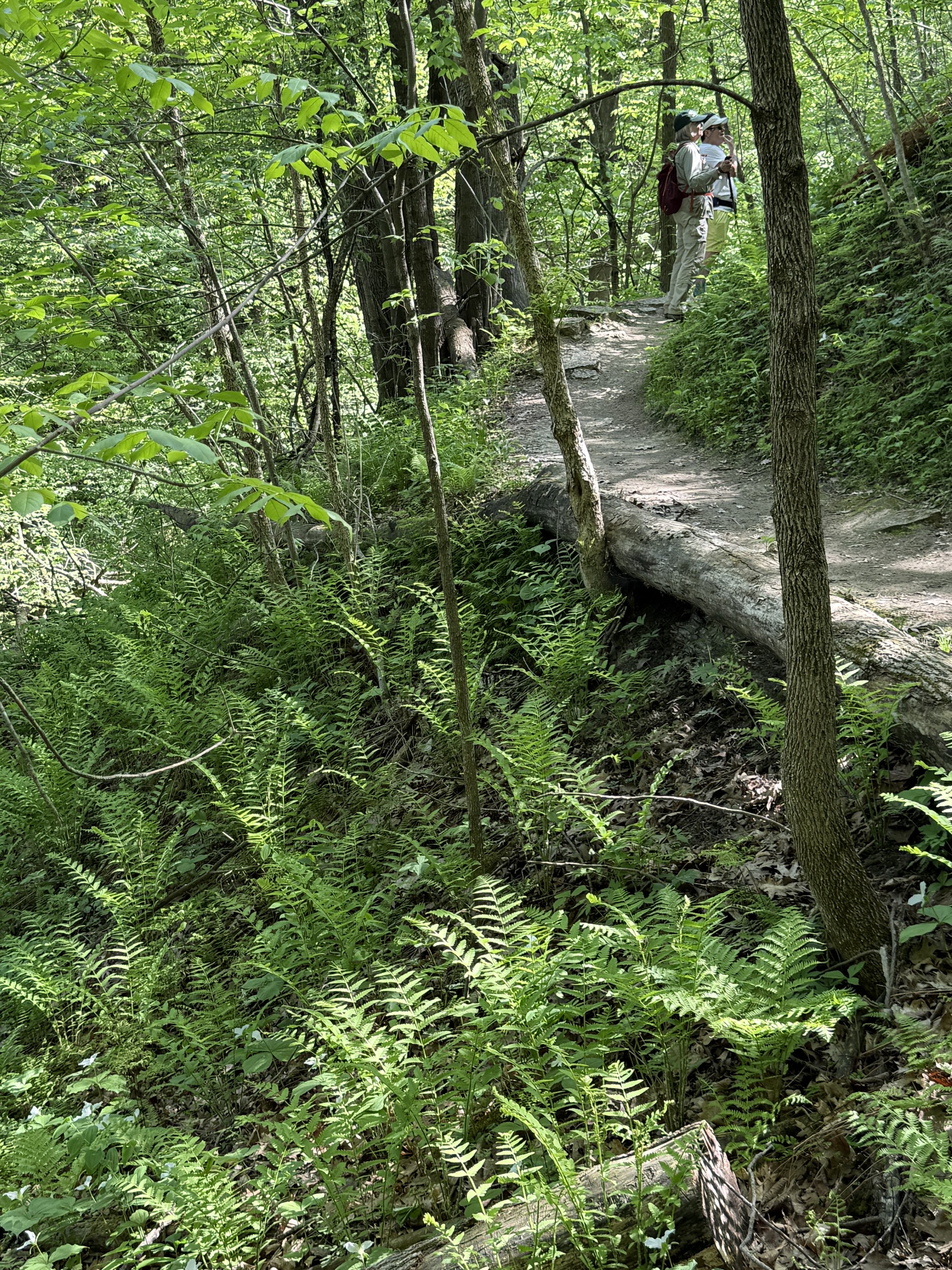
| Switch back trail from East trailhead |
The dirt trail immediately starts gently uphill along well-constructed and well-used switchback trails. You quickly gain elevation as you head upwards through the songbird-filled woods. This climb is slightly less steep than the one you experience from the east trailhead - until you reach the final 1/4 mile to the peak.
 |
| Heading up to the summit from East trailhead |
As you climb out of the woods into the sunny and exposed expanse of the bluff's goat prairie, the trail steepens. Luckily, you are going through a riot of prairie flowers during the growing season and can stop to admire and identify multiple delicate and sturdy forbs. And you MUST take time to turn and admire the unbelievable Mississippi River and Minnesota bluff views along the way. Great ways to recombobulate as you finish the final climb to the top!
 |
| Descending towards West trailhead |
On the peak, at 1166 feet, there is a shelter and rocks (watch for snakes sunning!) and time to relax and admire the view before beginning your downward trek.
This part of the trail is quite steep and features wooden stairs twisting and turning their way down. You get great views of Trempealeau Mountain on the way down. Caution should be taken on the steeper parts of this trail when the wooden stairs end and rock steps and dirt trail resume.
 |
| Surrounded by ferns and forbs at the gorge |
The final 1/4 mile of the trail winds through a dramatic fern-and-flower-filled gorge. This wet, shaded microclime stays relatively cool (and sometimes mosquito-y). It is a riot of shooting stars, trillium, violets, bellwort, wild ginger, Dutchman's breeches, and bloodroot during the ephemeral season. The ferns linger throughout the growing season along the dramatic sandstone cliffs where hardy rockcap ferns cling to the steep cliffs above you at the end of the trail.
 |
| Painted turtles sunning Riverview trail |
You emerge at the west trailhead across from a parking lot. You can access the Riverview Trail at that busy location down the hill by the boat launch to your left or walk along the road for a short time and catch the river side trail on the right there.
The short 1/2 mile Riverview Trail segment winds around, just above the river slough. Along this flat wetlands trail, you can glimpse wildflowers, waterfowl, turtles and rock formations until you are once more at the parking lot.
If you are considering an out-and-back hike, the west trailhead holds gorgeous cliff and gorge views, ferns and wildflowers and wooden and rock stairs up most of the steepest parts up to the top (about a 3/4 mile hike one way). You can enjoy a short hike through the gorge and catch some low views of the river before turning back for a quick 1/2 mile hike - or head all the way up the stairs to the peak before turning back.
THE HIKE
The short 1/2 mile Riverview Trail segment winds around, just above the river slough. Along this flat wetlands trail, you can glimpse wildflowers, waterfowl, turtles and rock formations until you are once more at the parking lot.
 |
| Trillium and ferns in the gorge |
Going up this way, the stairs are definitely for lovers of aerobic exercise. Whenever I encounter people coming up this way, they are breathing hard. I always find taking stairs down a lot easier, so it’s an east trailhead start for me! This also gives me the best views of nearby Trempealeau Mountain as I descend.
If you are hiking at Trempealeau National Wildlife Refuge nearby, this is a must-see park especially in the spring migration/ephemeral season, summer prairie flower time and autumn color seasons.
If you are hiking at Trempealeau National Wildlife Refuge nearby, this is a must-see park especially in the spring migration/ephemeral season, summer prairie flower time and autumn color seasons.
 |
| Heading up to the gorge from the West trailhead |
THE HIKE
This 2.1 mile loop up 500 feet to the top of Brady's Bluff and then returning along a river side trail offers great views of the Mississippi River and surrounding bluffs, hardwood forest, remnant goat prairies and wetlands along the river. Steep climbs along switch back trails on one side and wooden stairs and stone steps along the other bring you up to the peak that features a shelter and multiple views of the river and surrounding bluffs. The trail west of the peak holds the best views of Trempealeau Mountain, especially if you are heading down.
The Location: N26247 Sullivan Rd, Trempealeau, WI
Located about ten miles east of WI Highway 53 along Hwy 35. Head left at the stop sign in town to the river, then take a right. The road leads directly into the park.
The Location: N26247 Sullivan Rd, Trempealeau, WI
Located about ten miles east of WI Highway 53 along Hwy 35. Head left at the stop sign in town to the river, then take a right. The road leads directly into the park.
 |
| Shooting star |
All images, unless noted - Marge Loch-Wouters
Looking for more area hikes? Please stop by the web version of the blog and under the "Labels" tab on the right hand side of the blog, click on "find-a-hike". There are over 75 hike descriptions and lists of hikes to try!
No comments:
Post a Comment